Municipalities & Public Works
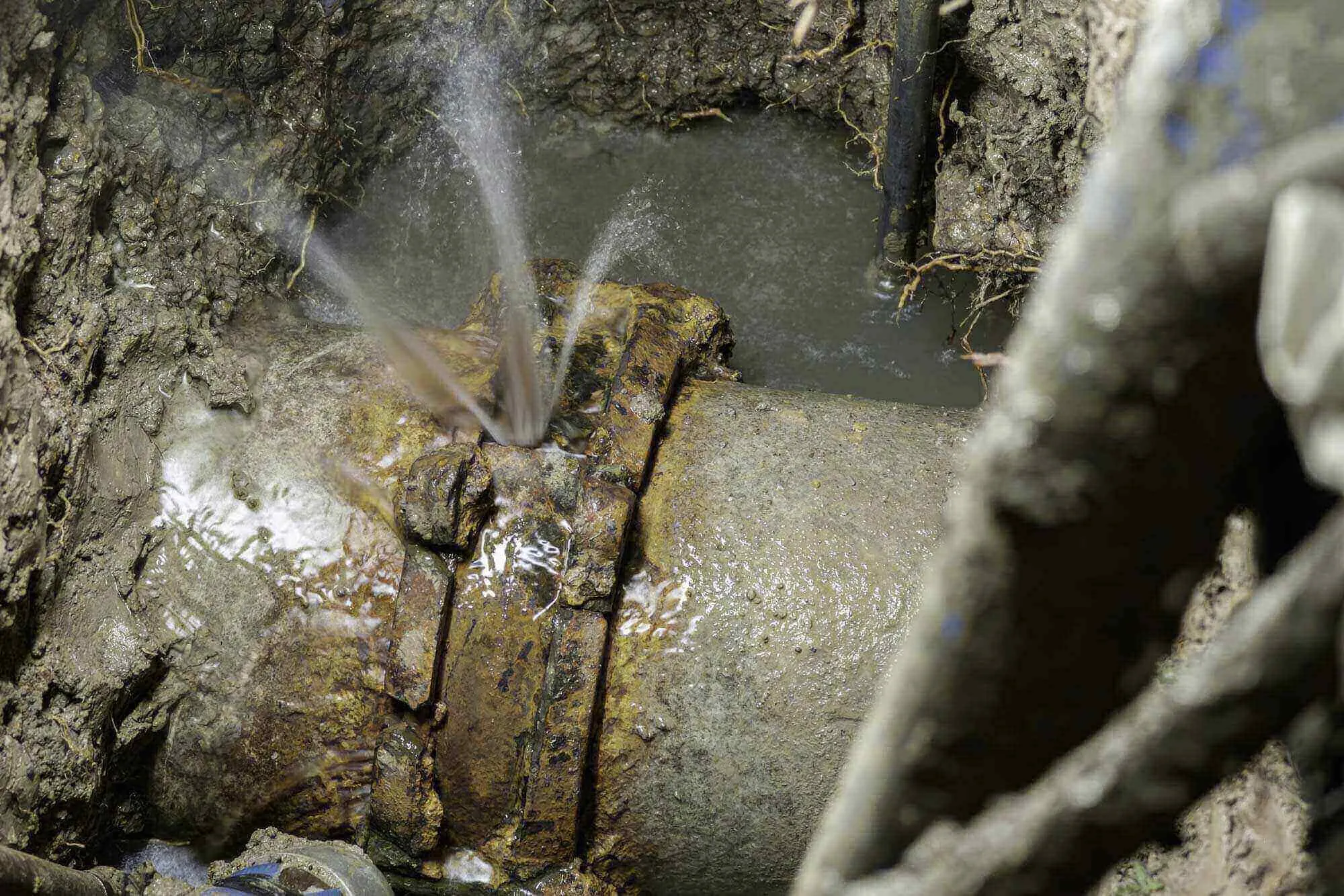
Water leaves the system somewhere between the plant and the meters, and the arithmetic showing how much says nothing about where.
The ground gives very little away. A main can leak for months without surfacing, particularly under pavement, and the traditional method of finding it involves opening the street in the most likely place and then the next most likely place after that.
What we run for you
Water main leak detection
Ground microphones and correlators locate the break acoustically, so excavation goes to one point.
Underground utility locating
Marks what else is in the trench line before the repair crew opens it.
Utility mapping
Builds the record of what is actually underground, which for most systems is better than what is on file.
What you get
The leak located and marked on the surface, and drawings that improve the system record rather than only solving today's problem.
Correlator and ground-microphone work locates a main break before excavation, and the documentation improves the system record with every job.
Questions we hear from municipalities & public works
We know the system loses water. How do you find where?
Acoustic correlation. Sensors on the line bracket the leak and the correlator computes its position from how the sound arrives; ground microphones confirm the point before anyone opens pavement.
Does the street have to be closed?
Rarely, and briefly where it is. The location work is listening, not digging. The only excavation is the repair itself, at the one point the correlation identified.
Our system maps are decades old. Can that be fixed as we go?
Progressively, yes. Every locate and every repair adds verified positions, and compiled into drawings they turn the map from folklore into a record.